 The back of Tempe House, Mount Olympus to the right. April 2006
  The grounds looking from the bottom of Mount Olympus to the Cooks River
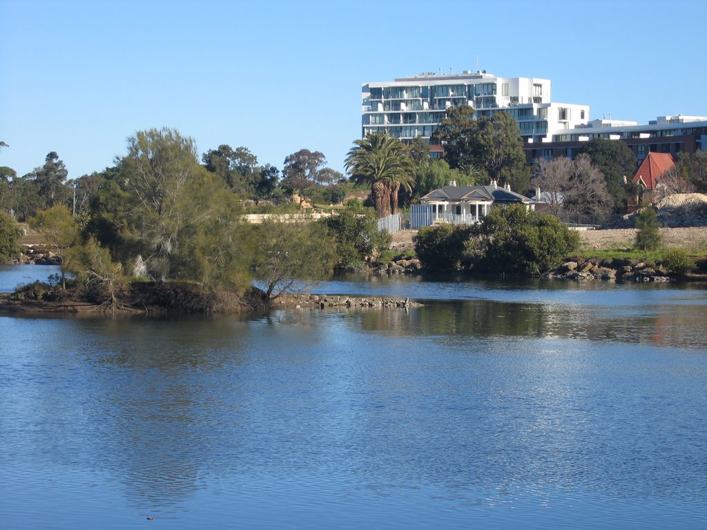
  Tempe House with lawns and development behind, April 2006
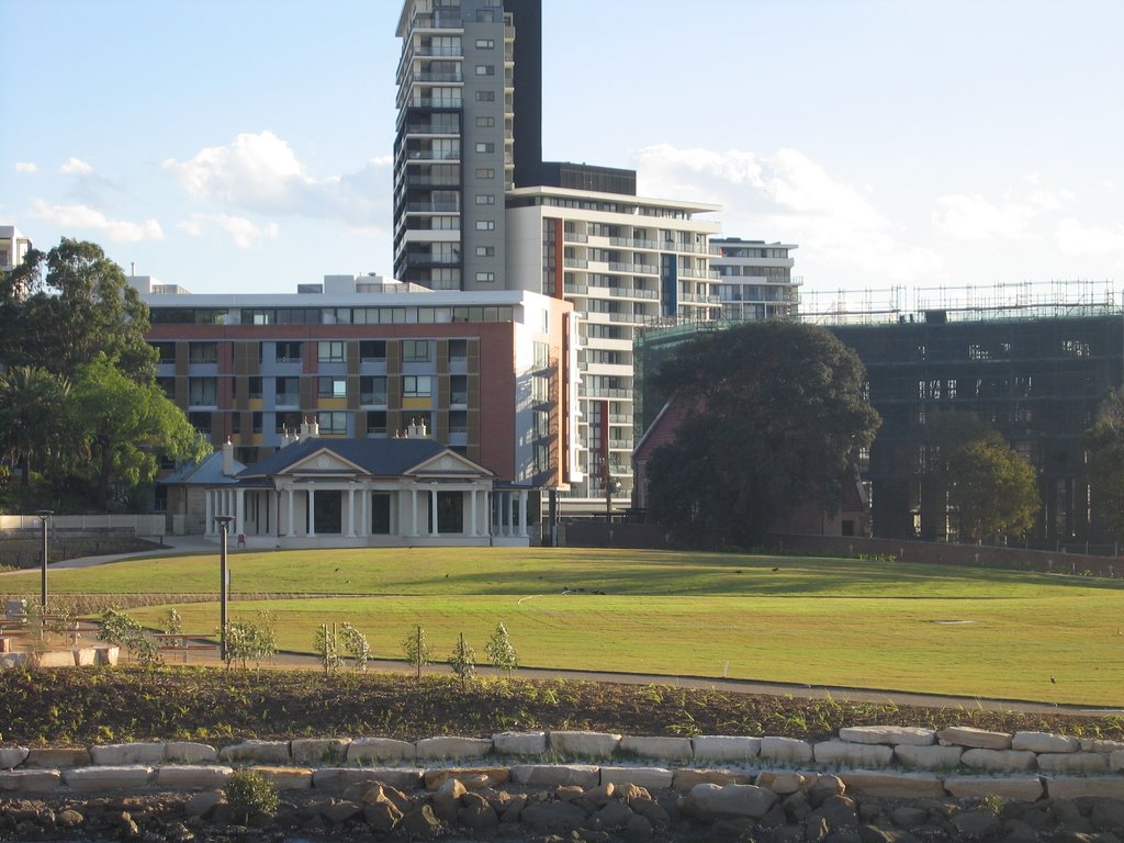
This house, now being magnificently restored, has quite a history – from glamorous high society home, to a school operated by early Sydney philanthropist
Caroline Chisholm (she previously appeared on the
Australian five dollar note), through nearly a century as a home run by Catholic Good Samaritan nuns for women adjudged to be in “moral danger”.
In the past few decades it has been in danger of total dereliction, the gardens and grounds overgrown and inaccessible.
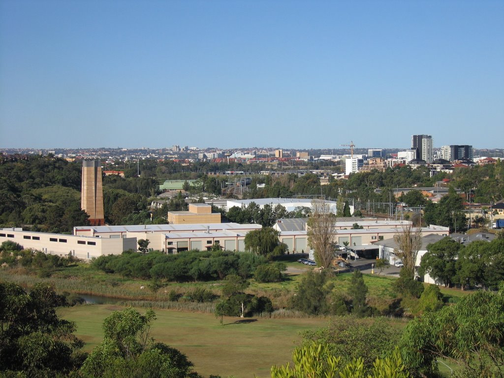
Unfortunately, the only way the house has been able to be restored has been in conjunction with a
major high-rise housing development. While I haven’t got an issue with the flats themselves, I do feel they mar the line of sight of Tempe House and divorce it from its context of expansive grounds. It has also meant the excision of a part of the rocky knoll to one side, called “Mount Olympus”. This part of the grounds has also been restored as a garden, for the private use of the apartment dwellers, but apparently the rest of the grounds will be publicly accessible.
On the positive side, the vast lawns down to the Cooks River have been rehabilitated (see the third picture above). Heritage architects
Tanner and Associates have been undertaking the restoration work, and there is ongoing archaeological work.
Look at an early painting of Tempe House by
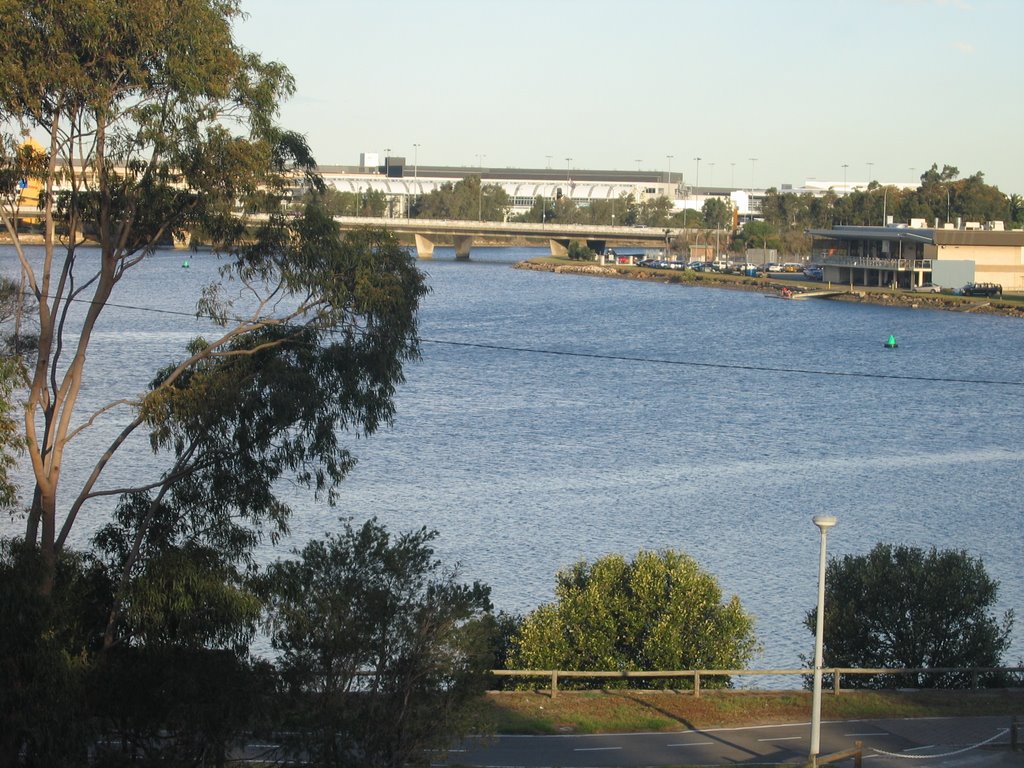
Conrad Martens and you will see that trees lined the river bank. Apparently we are going to see a riverside boardwalk with cafes and shops. We wait to see what that will look like when it is finished.
There will also be a supermarket, extensive public parking 6 500 residents and 7 000 workers in the overall Wolli Creek Redevelopment Area. Rockdale Council’s
Development Control Plan can be seen here.
History of Tempe House(Most of the information in this section is taken from the book
A Village Called Arncliffe by R.W. Rathbone (Wild and Woolley, 1997 ISBN 0 646 32627 9)
Alexander Brodie Spark: 1826 to 1856
The house was built for a wealthy and successful Scottish émigré, Alexander Brodie Spark. After achieving business success in London, Spark
applied to emigrate to Australia, and arrived in Tasmania on 21 January 1823. Finding that not to his liking, he moved on to Sydney where he arrived on 17 February 1823. He opened a general store in George St, and eventually moved into wool exportation, and owned a ship. He was a major shareholder in the Bank of Australia.
On 10 August 1826, Spark purchased 110 acres of land in an area formerly known as Packer’s Farm, on the south bank of the Cook’s River. The only way to cross the river was by boat. Spark had a private boatman, “Old Willy”.
Brodie, who had travelled extensively in Europe, having undertaken the classical gentleman’s Grand Tour of classical sites, named the estate “Tempe” after the
Vale of Tempe in Greece, and the rocky hill he named “
Mount Olympus”.
Brodie was a great entertainer, and it soon became apparent that the cottage on the site was inadequate, so in 1834 he commissioned
John Verge to design an arcadian villa with resemblance to a Greek temple. Verge was a major colonial architect, responsible also for
Elizabeth Bay House and
Camden Park at Menangle. Verge also designed Spark’s previous home, Tusculum, at Potts Point (see below)
Tempe was completed in 1836, and Brodie made it his permanent home, leasing Tusculum, to the Anglican Bishop of Sydney.
Behind Tempe House there was an orchard, greenhouse, shrubbery and gardener’s cottage. On the river he constructed a rococo bathing house.
Damming the riverIn 1839, a decision was made to dam the Cooks River to provide a more dependable water supply for the growing city of Sydney. This was completed with convict labour in May 1840. Spark even accommodated it by moving his bathing house. However, the dam was a failure because the water upstream was brackish.
The dam did, however, spark a land boom in 1839-40, assisted by the end of the land grants system. Spark over-extended his finances to buy more land, which was his undoing. The bubble burst in September 1840 and land values plummeted, along with declining prices for wool and livestock, and a further period of drought. Spark was declared bankrupt in August 1843.
Although he lost ownership of Tempe to the Australian Trust Company, Spark and his growing family - he married a widow Frances Radford (nee Biddulph) in 1840, and they had six children, as well as two from her previous marriage - stayed on as tenants in vastly reduced circumstances.
Spark died in October 1856. There were no obituaries, and he is buried in an unmarked grave in St Peter’s Church cemetery, Tempe. I do not know what became of his wife and children. Here is a
portrait of two of his children, Edith and Stanley, painted about 1849 to 1851. Read
more about Spark and his art collection here.
After Spark, before the nuns: 1856 to 1884
In December 1856 there was a partial subdivision of Tempe Estate into 123 suburban lots of between ½ and 2 acres. There was little interest and it was withdrawn in April 1859 and re-sub-divided.
The house and 11 surrounding acres were one lot, and the remainder were 1 to 20 acres.
Tempe was bought by two bachelor brothers, Patrick and Thomas Maguire of George St, Sydney. They paid £ 2000. Neither brother ever lived at Tempe, and it was occupied by a series of wealthy tenants. It was known as Greenbank at this time. The large block of flats immediately behind Tempe House is named Greenbank. The other is named Verge.
Probably the most notable tenant was Caroline Chisholm, dubbed “the immigrants’ friend”. She leased it to run “an educational establishment for young ladies”, until ill-health forced her to abandon it.
In October 1884, the surviving brother, Thomas, died and the house was sold to Frederick Gannon, the son of a local inn-keeper and landowner. On22 March 1885, he paid £ 4000, and five weeks later sold it to the
Sisters of the Good Samaritan of St Benedict, making a £ 2000 profit. Property speculation is not a new phenomenon in Sydney!
St Magdalen’s Retreat: 1884 to 1983The Sisters conducted a refuge for destitute women, and an industrial laundry in Carters’ Barracks, Pitt St, Sydney. Upon purchase of Tempe House, it was renamed St Magdalen’s Retreat, and opened in October 1887 with 25 women from Pitt Street. St Magdalen’s operated for 96 years.
In 1888
the chapel was constructed.
Gradually the function changed from accommodation for destitute women to one primarily for women unable to find employment and in danger of prostitution. Former prostitutes, ex-prisoners and alcoholics were accommodated for two years to work in the laundry, dairy or poultry yard. Younger women were taught cooking, sewing and other domestic duties.
Originally the women accommodated were all volunteers, free to leave at any time, and then the courts increasingly referred young women judged to be in “moral danger”.
Security was increased, with a double corrugated fence ten feet high around the dormitory and laundry. Rathbone reports this as being due to outbreaks of sectarian bigotry, and various attempts to “rescue” the girls against accusations of being mistreated and exploited.
In 1919 there was a full inquiry, which dismissed the allegations and found that th Sisters treated the residents with kindness, and that there was no basis for criticism of the work methods or wages paid. 1923 and 1929 changes t the Child Welfare Act put more emphasis on academic skills.
The Good Samaritan Sisters’ St Magdalen’s Retreat closed in 1983.
After the Sisters: 1983 --->I believe that the house was sold to Qantas which had some plans to use it as a training base, but that never came to fruition The house and grounds quietly disintegrated until it was eventually sold to developers, the results of which we see today.
*Tusculum was built on land granted to Spark in 1828 – one of the few land grants to private individuals. Verge’s plan was approved by Governor darling in 1830 and completed in 1835. It was named after the villa built by the ancient Roman orator and statesman Cicero near Rome. Sparke only occupied the house for a short time. That house, like Tempe, gradually fell on hard times and in 1983 was acquired by the State Government. Conservation work was supervised by Clive Lucas. Today it is the home of the Royal Australian Institute of Architects NSW Chapter.
In my view it is a pity that the same was not done for Tempe House, which may have spared us the inappropriate development.
 Muddy Creek outlet showing concrete channel and across to Sydney Airport.
  Fishing in Muddy Creek
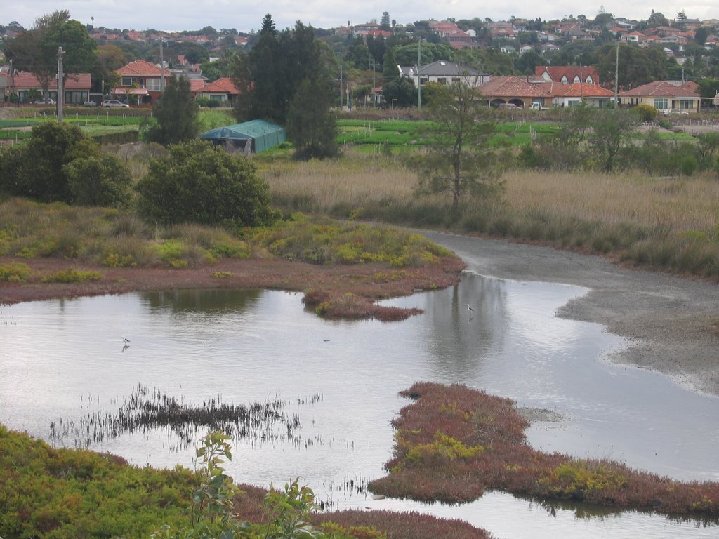
 This shot and the next one show Muddy Creek where it meets the Cooks River. Directly opposite the mouth is Sydney Airport, which was once a large estuary of the Cooks River.
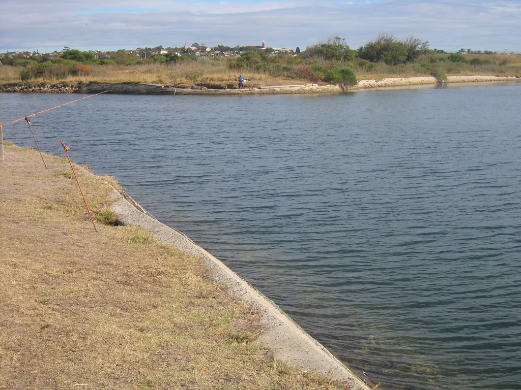
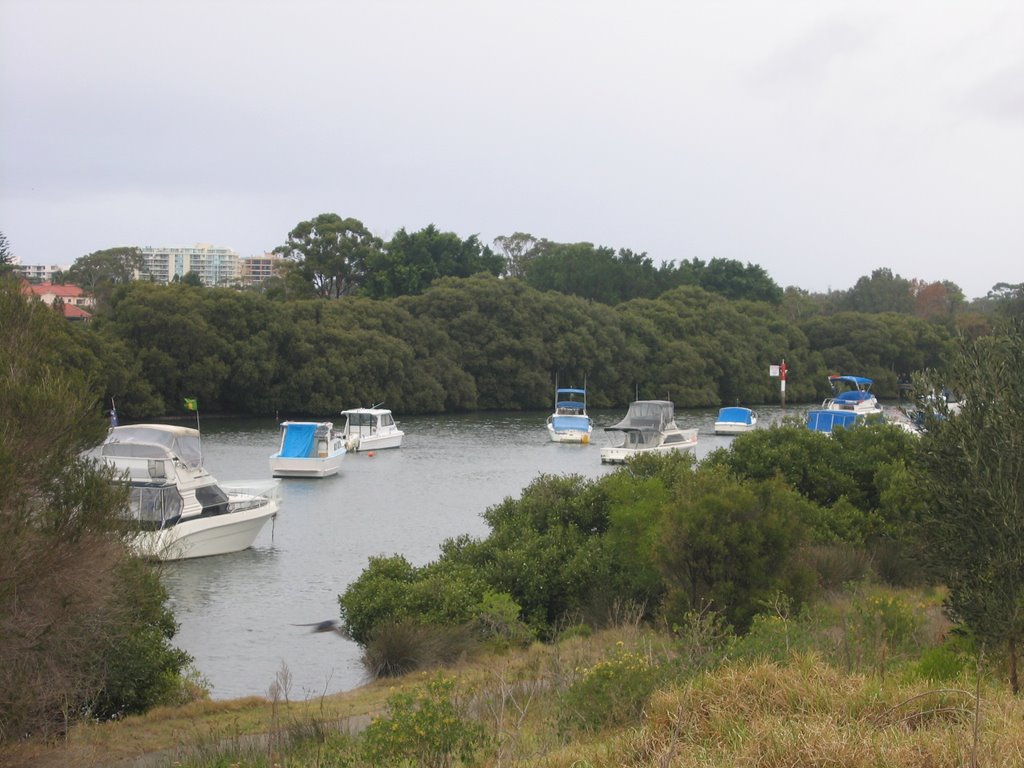 Boats on Muddy Creek near the Cooks River


