Starting at the Wolli Creek end
Below: Looking from Brodie Spark Drive up Arncliffe St from the Wolli Creek end
 Below: "Proximity" is the high rise development fronting Arncliffe St. The amazing thing is that this narrow road, which carries a large amount of the traffic into and out of Arncliffe is also a designated "cycle route" ! They have to be joking.
 Below: Proximity, by developer Multiplex. Two bedroom apartments routinely cost over $400 000
 Below: What is this? A Substation?
 Below: Warehouse building currently used for indoor Go-Kart racing

 Below: Looking towards Brodie Spark Drive at Wolli Creek, 'Proximity' on the left.

 Below: Morris McMahon was the site of a prolonged industrial dispute in 2003
 Below: There used to be houses, however, there are only two left, and they have been converted to other purposes. One is a sandwich and lunch shop servicing the factories in the area, and this one.
 Below: Looking towards the Arncliffe end. On the right, the other house, now afood outlet, and across the railway line the Al-Zahra mosque
 Below: Looking from the corner of Allen St
 Below: On the station side of Arncliffe St, near Burrows St, looking along Arncliffe St. Allen St corner is in the middle. This is the station's commuter car park
 Below: Looking in the oppositie direction from the previous shot.
 Below: From the corner of Allen St. Empress resewrve is on the left. The green box near the letter box is a mail collection box for the postie to pick up from.
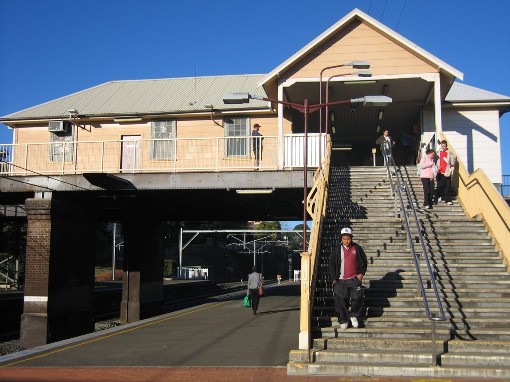
 Below: The station from the commuter car park
 Below: The park at the end of the carpark, behind Arncliffe Scots. The walkway extends from the end of Arnclife St where it meets Burrows St to the station overpass.
View Larger Map
Photos taken 03 and 04 August 2008